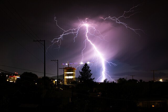
Environment Canada has upgraded its warning in the Nicola region. The storm warning took effect at 3:30 p.m. on Friday. It covers the area from Tulameen to Lac Le Jeune. Merritt and the Coquihalla Highway north of Hope are included.
Meteorologists are tracking a severe thunderstorm over Pennask Lake. The lake lies north of the Okanagan Connector and east of Merritt. The storm moves north at five kilometres per hour. Forecasters warn it could bring pea- to dime-sized hail. They also predict strong wind gusts and heavy rain.
Heavy rain may cause flash flooding. Roads could become flooded and slick. Visibility may fall to near zero in downpours. Drivers should slow down or pull over. Highways may close if conditions worsen.
The South Thompson region remains under a severe thunderstorm watch. That includes Kamloops and the North Thompson. The Okanagan area also remains on alert. Environment Canada first issued the watch at 1:28 p.m. on Friday. The watch covers the broader B.C. Interior, including the Kootenays.
A watch means conditions are right for severe storms to form. A warning means a storm is confirmed and expected soon. The upgrade signals higher risk for hail, wind, and rain. Local residents should take the warning seriously.
People should secure loose items outdoors. Patio furniture and tools can become dangerous if tossed by wind. Bring pets and livestock into safe shelter. Farmers should protect young crops and livestock.
At home, close windows and doors. Unplug electronics to avoid damage from power surges. Move cars under cover to reduce hail damage. Have flashlights and batteries ready. Keep a battery-powered radio on hand for updates.
On the road, avoid driving through flooded sections. Just 15 cm of water can shift a car. Ten centimetres can sweep a person off their feet. If water covers the road, turn around. Do not attempt to cross.
Emergency crews stand by to clear fallen trees or debris. High winds may down power lines and trees. Report outages and hazards to local authorities. In an emergency, call 9-1-1. For non-urgent concerns, contact your regional district office.
Late-summer storms are common in this region. Warm, moist air from the south meets cool mountain air. This mix can fuel quick-forming thunderstorms. Hail and gusty winds often follow.
Residents near Tulameen and Lac Le Jeune have seen similar storms in past years. In August 2023, hail damaged crops along the Coquihalla corridor. In 2021, heavy rain triggered flash floods near Merritt. Local authorities issued evacuation alerts then.
Agricultural groups advise farmers to monitor radar apps. Download the latest weather alerts to your phone. Sign up for text warnings from local governments.
Schools and camps in the warning area should review their emergency plans. Keep children indoors until the storm passes. Avoid open fields and metal structures.
Construction sites must secure materials and machinery. Remove loose objects from scaffolding. Lower cranes and secure tarps.
Power utilities may pre-position crews in high-risk areas. They will repair downed lines as soon as conditions allow. Customers should report outages promptly to speed restoration.
The warning remains in effect until conditions improve. Meteorologists will update the advisory if the storm weakens or moves away. The next bulletin is due at 6 p.m.
Stay tuned to official channels for updates. Keep your phone charged and within reach. Heed any evacuation orders without delay. Your safety depends on prompt action.

